
Miajadas topographic map
Interactive map
Click on the map to display elevation.
About this map
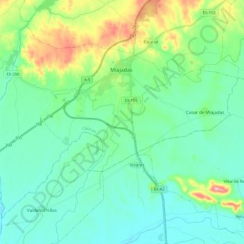
Name: Miajadas topographic map, elevation, terrain.
Location: Miajadas, Cáceres, Estremadura, 10100, Espanha (39.05253 -6.01641 39.17825 -5.81037)
Average elevation: 938 ft
Minimum elevation: 801 ft
Maximum elevation: 1,398 ft