
Septmoncel les Molunes topographic map
Interactive map
Click on the map to display elevation.
About this map
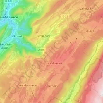
Name: Septmoncel les Molunes topographic map, elevation, terrain.
Average elevation: 3,468 ft
Minimum elevation: 1,276 ft
Maximum elevation: 5,495 ft