Sherwood Forest NNR topographic map
Interactive map
Click on the map to display elevation.
About this map
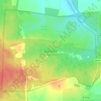
Name: Sherwood Forest NNR topographic map, elevation, terrain.
Average elevation: 233 ft
Minimum elevation: 138 ft
Maximum elevation: 341 ft

Click on the map to display elevation.
Name: Sherwood Forest NNR topographic map, elevation, terrain.
Average elevation: 233 ft
Minimum elevation: 138 ft
Maximum elevation: 341 ft