
Rudloe topographic map
Interactive map
Click on the map to display elevation.
About this map
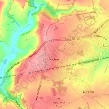
Name: Rudloe topographic map, elevation, terrain.
Location: Rudloe, Wiltshire, Zuidwest-Engeland, Engeland, SN13 0LZ, VK (51.40692 -2.24013 51.44692 -2.20013)
Average elevation: 344 ft
Minimum elevation: 102 ft
Maximum elevation: 509 ft