
Louise Lake topographic map
Interactive map
Click on the map to display elevation.
About this map
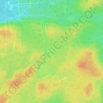
Name: Louise Lake topographic map, elevation, terrain.
Location: Louise Lake, Lynn Lake, Manitoba, Canada (56.74114 -101.09213 56.74480 -101.08589)
Average elevation: 1,253 ft
Minimum elevation: 1,178 ft
Maximum elevation: 1,312 ft