
Jöß topographic map
Interactive map
Click on the map to display elevation.
About this map
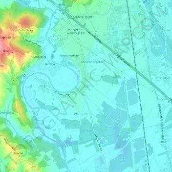
Name: Jöß topographic map, elevation, terrain.
Location: Jöß, Lang, Bezirk Leibnitz, Styria, 8403, Austria (46.81819 15.49778 46.85819 15.53778)
Average elevation: 968 ft
Minimum elevation: 892 ft
Maximum elevation: 1,342 ft