
沁县 topographic map
Interactive map
Click on the map to display elevation.
About this map
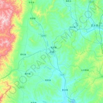
Name: 沁县 topographic map, elevation, terrain.
Location: 沁县, 长治市, 山西省, 中国 (36.59573 112.53036 36.91573 112.85036)
Average elevation: 3,550 ft
Minimum elevation: 3,002 ft
Maximum elevation: 5,676 ft