
Altitude topographic map
Interactive map
Click on the map to display elevation.
About this map
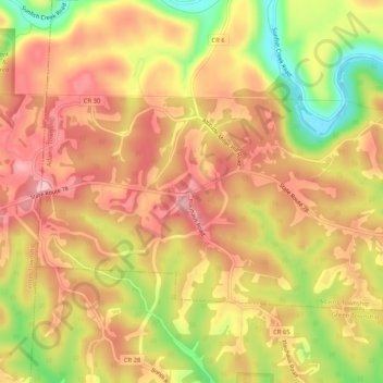
Name: Altitude topographic map, elevation, terrain.
Location: Altitude, Monroe County, Ohio, 43752, États-Unis d'Amérique (39.73313 -81.04344 39.77313 -81.00344)
Average elevation: 1,096 ft
Minimum elevation: 732 ft
Maximum elevation: 1,325 ft