
Champoluc topographic map
Interactive map
Click on the map to display elevation.
About this map
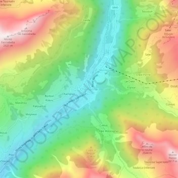
Name: Champoluc topographic map, elevation, terrain.
Location: Champoluc, Ayas, Valle d'Aosta, 11020, Italia (45.81164 7.70600 45.85164 7.74600)
Average elevation: 6,457 ft
Minimum elevation: 4,967 ft
Maximum elevation: 8,563 ft