
Ogla topographic map
Interactive map
Click on the map to display elevation.
About this map
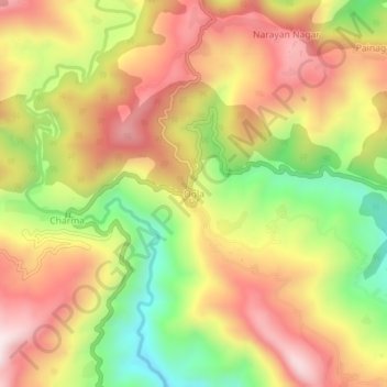
Name: Ogla topographic map, elevation, terrain.
Location: Ogla, Didihat, Pithoragarh district, Uttarakhand, India (29.73510 80.26397 29.77510 80.30397)
Average elevation: 4,898 ft
Minimum elevation: 3,812 ft
Maximum elevation: 5,820 ft