
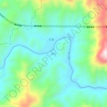
沧州 topographic map
Interactive map
Click on the map to display elevation.
About this map
Name: 沧州 topographic map, elevation, terrain.
Location: 沧州, 大田县, 三明市, 福建省, 中国 (25.95911 117.94655 25.99911 117.98655)
Average elevation: 1,247 ft
Minimum elevation: 659 ft
Maximum elevation: 2,848 ft
Other topographic maps
Click on a map to view its topography, its elevation and its terrain.