
Düren topographic map
Interactive map
Click on the map to display elevation.
About this map
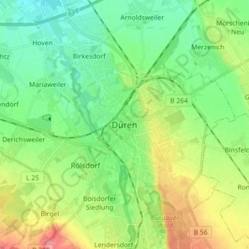
Name: Düren topographic map, elevation, terrain.
Location: Düren, Kreis Düren, Noordrijn-Westfalen, 52349, Duitsland (50.76317 6.44208 50.84317 6.52208)
Average elevation: 443 ft
Minimum elevation: 348 ft
Maximum elevation: 627 ft