
Moyotepec (Moyotepec de Juárez) topographic map
Interactive map
Click on the map to display elevation.
About this map
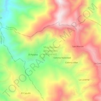
Name: Moyotepec (Moyotepec de Juárez) topographic map, elevation, terrain.
Average elevation: 7,638 ft
Minimum elevation: 6,365 ft
Maximum elevation: 8,799 ft