
Floda topographic map
Interactive map
Click on the map to display elevation.
About this map
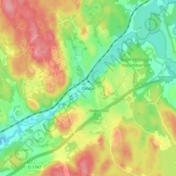
Name: Floda topographic map, elevation, terrain.
Location: Floda, Lerums kommun, Västra Götaland County, 448 30, Sweden (57.78777 12.34234 57.82777 12.38234)
Average elevation: 292 ft
Minimum elevation: 138 ft
Maximum elevation: 476 ft