
Lac L'Heureux topographic map
Interactive map
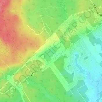
Click on the map to display elevation.
About this map
Name: Lac L'Heureux topographic map, elevation, terrain.
Average elevation: 564 ft
Minimum elevation: 463 ft
Maximum elevation: 689 ft
Other topographic maps
Click on a map to view its topography, its elevation and its terrain.
Saint-Colomban
Canada > Québec > La Rivière-du-Nord > Saint-Colomban > Saint-Colomban
Saint-Colomban, La Rivière-du-Nord, Laurentides, Québec, J5K 0E2, Canada
Average elevation: 531 ft