
海甸岛 topographic map
Interactive map
Click on the map to display elevation.
About this map
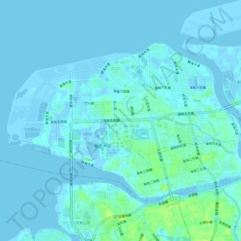
Name: 海甸岛 topographic map, elevation, terrain.
Location: 海甸岛, 美兰区, 海口市, 海南省, 中国 (20.04681 110.30054 20.08068 110.35653)
Average elevation: 7 ft
Minimum elevation: -62 ft
Maximum elevation: 46 ft