
Grivel topographic map
Interactive map
Click on the map to display elevation.
About this map
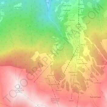
Name: Grivel topographic map, elevation, terrain.
Location: Grivel, Pila, Gressan, Aostatal, Italien (45.65905 7.27771 45.69905 7.31771)
Average elevation: 6,490 ft
Minimum elevation: 3,839 ft
Maximum elevation: 8,688 ft