
Ларина topographic map
Interactive map
Click on the map to display elevation.
About this map
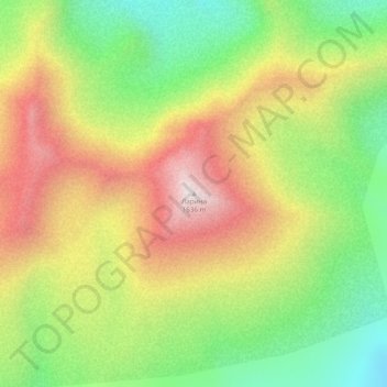
Name: Ларина topographic map, elevation, terrain.
Average elevation: 3,944 ft
Minimum elevation: 2,743 ft
Maximum elevation: 5,295 ft
Other topographic maps
Click on a map to view its topography, its elevation and its terrain.
Klioutchevskoï
Russie > Kraï du Kamtchatka > Усть-Камчатский район
Klioutchevskoï, Усть-Камчатский район, Kraï du Kamtchatka, District fédéral extrême-oriental, Russie
Average elevation: 13,583 ft