
Cerro La Palmitosa topographic map
Interactive map
Click on the map to display elevation.
About this map
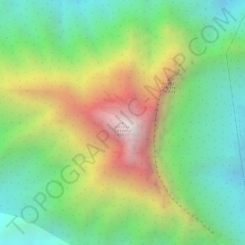
Name: Cerro La Palmitosa topographic map, elevation, terrain.
Location: Cerro La Palmitosa, Mina, Nuevo León, México (25.94402 -100.51586 25.94412 -100.51576)
Average elevation: 4,731 ft
Minimum elevation: 3,169 ft
Maximum elevation: 6,998 ft
Other topographic maps
Click on a map to view its topography, its elevation and its terrain.