
Corte topographic map
Interactive map
Click on the map to display elevation.
About this map
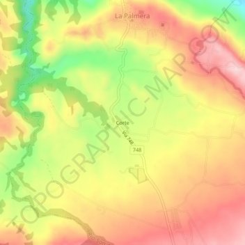
Name: Corte topographic map, elevation, terrain.
Average elevation: 994 ft
Minimum elevation: 525 ft
Maximum elevation: 1,335 ft
Other topographic maps
Click on a map to view its topography, its elevation and its terrain.
San Francisco
Costa Rica > Cantón San Carlos > La Palmera
San Francisco, La Palmera, Cantón San Carlos, Provincia de Alajuela, 21009, Costa Rica
Average elevation: 404 ft