
Pozo del Tigre topographic map
Interactive map
Click on the map to display elevation.
About this map
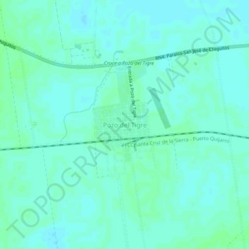
Name: Pozo del Tigre topographic map, elevation, terrain.
Location: Pozo del Tigre, Chiquitos, Santa Cruz, Bolivia (-17.62214 -62.00991 -17.58214 -61.96991)
Average elevation: 892 ft
Minimum elevation: 883 ft
Maximum elevation: 906 ft