
Rivière L'Assomption topographic map
Interactive map
Click on the map to display elevation.
About this map
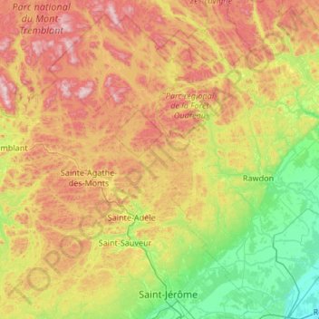
Name: Rivière L'Assomption topographic map, elevation, terrain.
Average elevation: 1,083 ft
Minimum elevation: 30 ft
Maximum elevation: 3,009 ft
Other topographic maps
Click on a map to view its topography, its elevation and its terrain.
Parc Jacques-Cartier
Canada > Québec > L'Assomption (MRC) > L'Assomption
Parc Jacques-Cartier, L'Assomption, L'Assomption (MRC), Lanaudière, Québec, Canada
Average elevation: 56 ft