
Courel topographic map
Interactive map
Click on the map to display elevation.
About this map
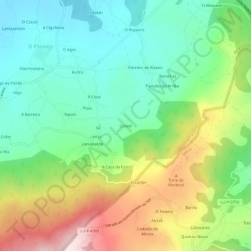
Name: Courel topographic map, elevation, terrain.
Location: Courel, Sa, O Páramo, Sarria, Lugo, Galicia, 27369, España (42.81196 -7.50049 42.85196 -7.46049)
Average elevation: 1,732 ft
Minimum elevation: 1,191 ft
Maximum elevation: 2,717 ft