
Hamme topographic map
Interactive map
Click on the map to display elevation.
About this map
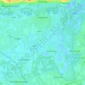
Name: Hamme topographic map, elevation, terrain.
Location: Hamme, Flandre orientale, Flandre, Belgique (51.03222 4.05962 51.11148 4.19976)
Average elevation: 13 ft
Minimum elevation: -10 ft
Maximum elevation: 102 ft