
Bornem topographic map
Interactive map
Click on the map to display elevation.
About this map
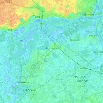
Name: Bornem topographic map, elevation, terrain.
Location: Bornem, Anvers, Flandre, Belgique (51.05886 4.17197 51.12559 4.32683)
Average elevation: 20 ft
Minimum elevation: -10 ft
Maximum elevation: 98 ft