
Whitesboro topographic map
Interactive map
Click on the map to display elevation.
About this map
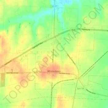
Name: Whitesboro topographic map, elevation, terrain.
Location: Whitesboro, Grayson County, Texas, United States of America (33.64364 -96.93407 33.68428 -96.87734)
Average elevation: 774 ft
Minimum elevation: 696 ft
Maximum elevation: 830 ft