
Lefebvre topographic map
Interactive map
Click on the map to display elevation.
About this map
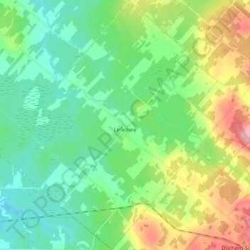
Name: Lefebvre topographic map, elevation, terrain.
Location: Lefebvre, Drummond, Centre-du-Québec, Québec, Canada (45.65875 -72.49015 45.76697 -72.35376)
Average elevation: 446 ft
Minimum elevation: 335 ft
Maximum elevation: 696 ft