
Woodside topographic map
Interactive map
Click on the map to display elevation.
About this map
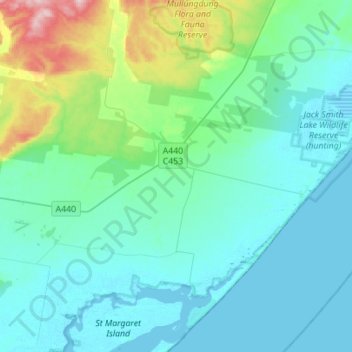
Name: Woodside topographic map, elevation, terrain.
Location: Woodside, Shire of Wellington, Victoria, 3874, Australia (-38.64630 146.78261 -38.42923 147.05947)
Average elevation: 115 ft
Minimum elevation: -3 ft
Maximum elevation: 702 ft
Other topographic maps
Click on a map to view its topography, its elevation and its terrain.