
Le Ninglinspo topographic map
Interactive map
Click on the map to display elevation.
About this map
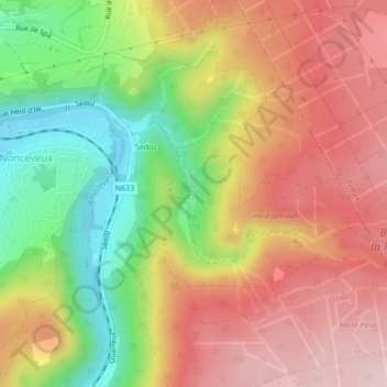
Name: Le Ninglinspo topographic map, elevation, terrain.
Location: Le Ninglinspo, Aywaille, Liège, Wallonie, 4920, Belgique (50.45939 5.74236 50.46896 5.76154)
Average elevation: 991 ft
Minimum elevation: 472 ft
Maximum elevation: 1,424 ft
Other topographic maps
Click on a map to view its topography, its elevation and its terrain.
Chambralles
Belgique > Wallonie > Aywaille > Chambralles
Chambralles, Aywaille, Liège, Wallonie, 4920, Belgique
Average elevation: 705 ft