
Bra topographic map
Interactive map
Click on the map to display elevation.
About this map
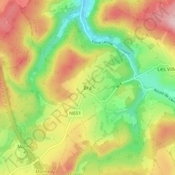
Name: Bra topographic map, elevation, terrain.
Location: Bra, Verviers, Liège, Wallonia, 49990, Belgium (50.30440 5.71378 50.34440 5.75378)
Average elevation: 1,273 ft
Minimum elevation: 912 ft
Maximum elevation: 1,673 ft