
Villablino topographic map
Interactive map
Click on the map to display elevation.
About this map
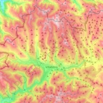
Name: Villablino topographic map, elevation, terrain.
Location: Villablino, León, Kastilien und León, Spanien (42.87829 -6.47896 43.05958 -6.20460)
Average elevation: 4,803 ft
Minimum elevation: 2,172 ft
Maximum elevation: 7,051 ft
Other topographic maps
Click on a map to view its topography, its elevation and its terrain.
Prado Negro
Spanien > Kastilien und León > Villablino
Prado Negro, Villablino, León, Kastilien und León, Spanien
Average elevation: 5,312 ft