
Varel topographic map
Interactive map
Click on the map to display elevation.
About this map
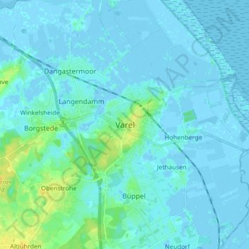
Name: Varel topographic map, elevation, terrain.
Location: Varel, Landkreis Friesland, Niedersachsen, 26316, Deutschland (53.35578 8.09721 53.43578 8.17721)
Average elevation: 10 ft
Minimum elevation: -13 ft
Maximum elevation: 62 ft