
Kampung Sri Indah topographic map
Interactive map
Click on the map to display elevation.
About this map
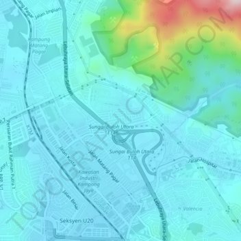
Name: Kampung Sri Indah topographic map, elevation, terrain.
Location: Kampung Sri Indah, Selangor, 47830, Malaysia (3.20794 101.55543 3.24794 101.59543)
Average elevation: 312 ft
Minimum elevation: 95 ft
Maximum elevation: 1,683 ft