
Bitung topographic map
Interactive map
Click on the map to display elevation.
About this map
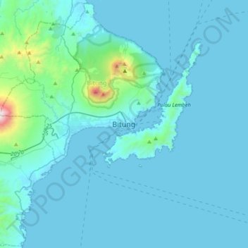
Name: Bitung topographic map, elevation, terrain.
Location: Bitung, Sulawesi du Nord, 95522, Indonésie (1.28344 125.03408 1.60344 125.35408)
Average elevation: 377 ft
Minimum elevation: -3 ft
Maximum elevation: 5,781 ft
Other topographic maps
Click on a map to view its topography, its elevation and its terrain.
Klabat
Indonésie > Sulawesi du Nord > Bitung
Klabat, Bitung, Sulawesi du Nord, Indonésie
Average elevation: 3,629 ft