
Covas do Douro topographic map
Interactive map
Click on the map to display elevation.
About this map
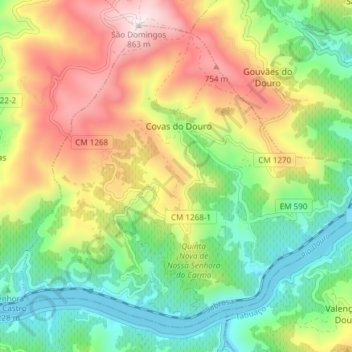
Name: Covas do Douro topographic map, elevation, terrain.
Location: Covas do Douro, Sabrosa, Vila Real, Portugal (41.15612 -7.62634 41.20474 -7.55132)
Average elevation: 1,230 ft
Minimum elevation: 240 ft
Maximum elevation: 2,828 ft