
Lindenberg topographic map
Interactive map
Click on the map to display elevation.
About this map
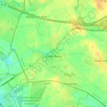
Name: Lindenberg topographic map, elevation, terrain.
Location: Lindenberg, Ahrensfelde, Barnim, Brandenburg, Deutschland (52.58671 13.49666 52.62017 13.56622)
Average elevation: 200 ft
Minimum elevation: 157 ft
Maximum elevation: 243 ft