
Cucunubá topographic map
Interactive map
Click on the map to display elevation.
About this map
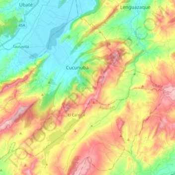
Name: Cucunubá topographic map, elevation, terrain.
Location: Cucunubá, Ubaté, Cundinamarca, 250450, Colombia (5.16501 -73.84742 5.29803 -73.68436)
Average elevation: 9,239 ft
Minimum elevation: 8,323 ft
Maximum elevation: 10,577 ft