
Radomsko topographic map
Interactive map
Click on the map to display elevation.
About this map
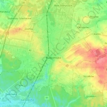
Name: Radomsko topographic map, elevation, terrain.
Location: Radomsko, powiat radomszczański, Łódź Voivodeship, Poland (51.03223 19.36405 51.11017 19.52153)
Average elevation: 758 ft
Minimum elevation: 663 ft
Maximum elevation: 906 ft