
Paundal Bunha topographic map
Interactive map
Click on the map to display elevation.
About this map
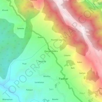
Name: Paundal Bunha topographic map, elevation, terrain.
Location: Paundal Bunha, Padhar, Mandi, Himachal Pradesh, 175012, India (31.87155 76.88914 31.91155 76.92914)
Average elevation: 4,639 ft
Minimum elevation: 3,041 ft
Maximum elevation: 6,818 ft