
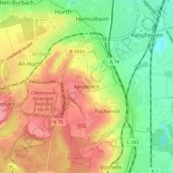
Kendenich topographic map
Interactive map
Click on the map to display elevation.
About this map
Name: Kendenich topographic map, elevation, terrain.
Average elevation: 292 ft
Minimum elevation: 144 ft
Maximum elevation: 436 ft
Other topographic maps
Click on a map to view its topography, its elevation and its terrain.
An der Horbeller Burg
Deutschland > Nordrhein-Westfalen > Rhein-Erft-Kreis > Hürth > Sielsdorf
An der Horbeller Burg, Sielsdorf, Hürth, Rhein-Erft-Kreis, Nordrhein-Westfalen, 50354, Deutschland
Average elevation: 200 ft
Knapsack
Deutschland > Nordrhein-Westfalen > Rhein-Erft-Kreis > Hürth
Knapsack, Hürth, Rhein-Erft-Kreis, Nordrhein-Westfalen, 50354, Deutschland
Average elevation: 354 ft
Gleuel
Deutschland > Nordrhein-Westfalen > Rhein-Erft-Kreis > Hürth
Gleuel, Hürth, Rhein-Erft-Kreis, Nordrhein-Westfalen, 50354, Deutschland
Average elevation: 266 ft
Fischenich
Deutschland > Nordrhein-Westfalen > Rhein-Erft-Kreis > Hürth > Fischenich
Fischenich, Hürth, Rhein-Erft-Kreis, Nordrhein-Westfalen, 50354, Deutschland
Average elevation: 282 ft