
Cuatla topographic map
Interactive map
Click on the map to display elevation.
About this map
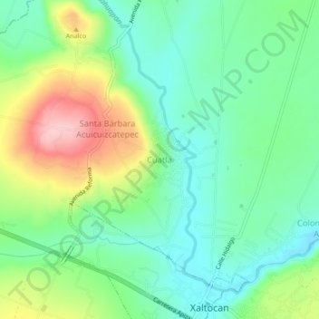
Name: Cuatla topographic map, elevation, terrain.
Location: Cuatla, Xaltocan, Tlaxcala, México (19.42194 -98.23611 19.46194 -98.19611)
Average elevation: 8,169 ft
Minimum elevation: 7,976 ft
Maximum elevation: 8,550 ft