
Indian Pass topographic map
Interactive map
Click on the map to display elevation.
About this map
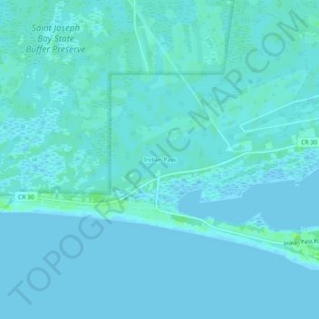
Name: Indian Pass topographic map, elevation, terrain.
Location: Indian Pass, Gulf County, Florida, United States (29.67049 -85.28436 29.71049 -85.24436)
Average elevation: 7 ft
Minimum elevation: -10 ft
Maximum elevation: 36 ft