
Santa Ana topographic map
Interactive map
Click on the map to display elevation.
About this map
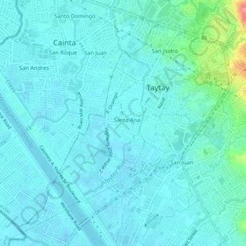
Name: Santa Ana topographic map, elevation, terrain.
Location: Santa Ana, Taytay, Rizal, Calabarzon, 1920, Philippines (14.54490 121.10622 14.58490 121.14622)
Average elevation: 43 ft
Minimum elevation: -7 ft
Maximum elevation: 322 ft