
Maubin topographic map
Interactive map
Click on the map to display elevation.
About this map
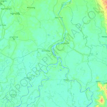
Name: Maubin topographic map, elevation, terrain.
Location: Maubin, Ayeyarwady, 10181, Myanmar (16.50069 95.20158 17.41223 95.88683)
Average elevation: 20 ft
Minimum elevation: -7 ft
Maximum elevation: 180 ft
Other topographic maps
Click on a map to view its topography, its elevation and its terrain.
Kyonpyaw
Myanmar > Ayeyarwady > Kyonpyaw
Kyonpyaw, Pathein, Ayeyarwady, 10091, Myanmar
Average elevation: 26 ft