
Mberengwa topographic map
Interactive map
Click on the map to display elevation.
About this map
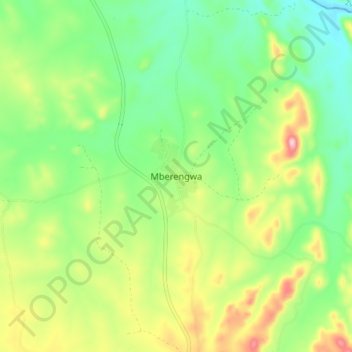
Name: Mberengwa topographic map, elevation, terrain.
Location: Mberengwa, Midlands, Zimbabwe (-20.51787 29.86707 -20.43787 29.94707)
Average elevation: 3,389 ft
Minimum elevation: 3,091 ft
Maximum elevation: 3,901 ft