
Sint Joost topographic map
Interactive map
Click on the map to display elevation.
About this map
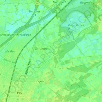
Name: Sint Joost topographic map, elevation, terrain.
Location: Sint Joost, Echt-Susteren, Limburg, Nederland (51.09610 5.88093 51.13596 5.94349)
Average elevation: 98 ft
Minimum elevation: 75 ft
Maximum elevation: 112 ft
Other topographic maps
Click on a map to view its topography, its elevation and its terrain.
Nieuwstadt
Nederland > Limburg > Echt-Susteren > Nieuwstadt
Nieuwstadt, Echt-Susteren, Limburg, Nederland
Average elevation: 115 ft