
Азов topographic map
Interactive map
Click on the map to display elevation.
About this map
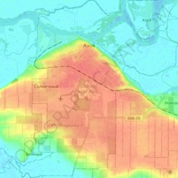
Name: Азов topographic map, elevation, terrain.
Average elevation: 69 ft
Minimum elevation: -3 ft
Maximum elevation: 167 ft
Other topographic maps
Click on a map to view its topography, its elevation and its terrain.
Азов
Россия > Ростовская область > городской округ Азов > Азов
Азов, городской округ Азов, Ростовская область, Южный федеральный округ, 346787, Россия
Average elevation: 52 ft