
Dhule topographic map
Interactive map
Click on the map to display elevation.
About this map
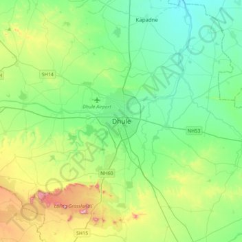
Name: Dhule topographic map, elevation, terrain.
Location: Dhule, Maharashtra, 424001, India (20.73800 74.61320 21.05800 74.93320)
Average elevation: 1,024 ft
Minimum elevation: 640 ft
Maximum elevation: 2,129 ft
Other topographic maps
Click on a map to view its topography, its elevation and its terrain.
Panzara River
India > Maharashtra > Dhule
Panzara River, Dhule, Maharashtra, 424001, India
Average elevation: 1,227 ft