
Le Pissot topographic map
Interactive map
Click on the map to display elevation.
About this map
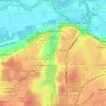
Name: Le Pissot topographic map, elevation, terrain.
Average elevation: 233 ft
Minimum elevation: 138 ft
Maximum elevation: 318 ft
Other topographic maps
Click on a map to view its topography, its elevation and its terrain.
La Barachonnerie
France > Centre-Val de Loire > Joué-lès-Tours > La Barachonnerie
La Barachonnerie, Joué-lès-Tours, Tours, Indre-et-Loire, Centre-Val de Loire, France métropolitaine, 37300, France
Average elevation: 299 ft