
Villanubla topographic map
Interactive map
Click on the map to display elevation.
About this map
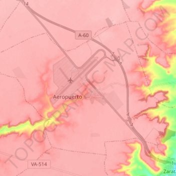
Name: Villanubla topographic map, elevation, terrain.
Location: Villanubla, Valladolid, Castilla y León, 47620, España (41.66796 -4.90903 41.73731 -4.78653)
Average elevation: 2,743 ft
Minimum elevation: 2,411 ft
Maximum elevation: 2,799 ft